Rendered at 00:19:03 12/10/25


Sign up and get $15.00 bCredits free to use at checkout and another $5.00 bCredits when you make your first purchase. More info

Envío gratis
135 recent views
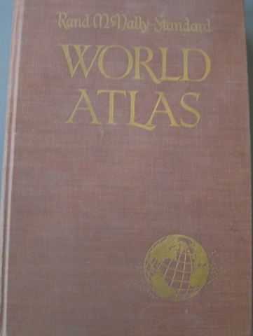
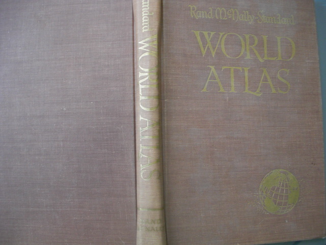
. Rand McNally-Standard World Atlas, C. 1957, Published by Rand McNally & Compa
€38,66 EUR
Sign up and get $15.00 bCredits free to use at checkout and another $5.00 bCredits when you make your first purchase. More info
Los buques de
United States

Share & earn! Sign in, share this or any listing, and you’ll get commission when it sells.
Learn more
Las opciones de envío
GRATIS en Europe
Los buques de
United States
La política de devoluciones
Protección de compra
Opciones de pago
PayPal accepted
PayPal Credit accepted
Venmo accepted
PayPal, MasterCard, Visa, Discover, and American Express accepted
Maestro accepted
Amazon Pay accepted
Nuvei accepted
Rasgos del artículo
| Categoría: | |
|---|---|
| cantidad disponible: |
Sólo uno en stock, para muy pronto |
| Condition: |
Very Good |
| Type: |
Atlas |
| Format: |
Hardcover |
| Region: |
World |
| Special Attributes: |
1st Edition, Illustrated |
| Language: |
English |
| Publication Year: |
1957 |
| Country/Region of Manufacture: |
United States |
| Country: |
World |
| Author: |
Rand McNally |
| Publisher: |
Rand McNally & Company |
Detalles del anuncio
| Envío de descuento: |
Vendedor paga el envío para este artículo. |
|---|---|
| Precio de descuento: |
10% De descuento w / $100.00 pasó |
| Publicado en venta: |
Más de una semana |
| Artículo número: |
1742562362 |
Descripción del Artículo
.
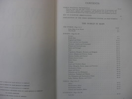
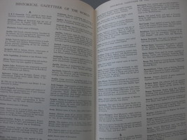
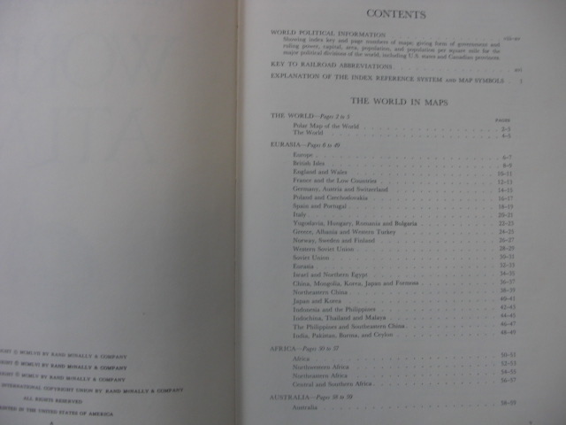
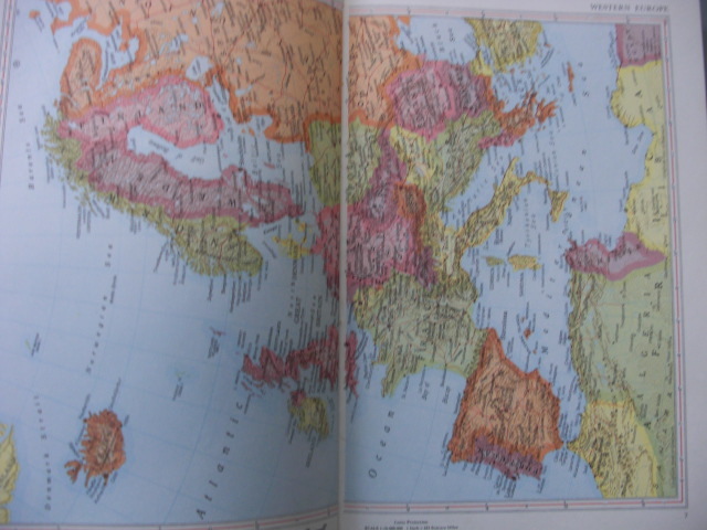
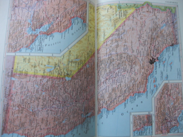
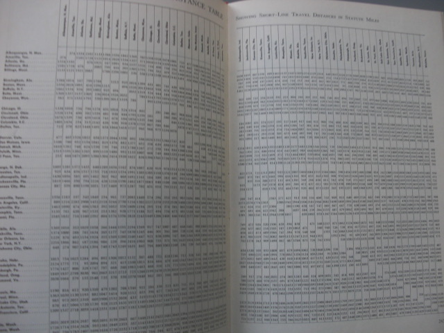
Text block pristine - 382 pages. Color map of the Western, African, Mediterranean, Near East and North and South Pacific war zones laid in.
In 1856, William H. Rand opened a printing shop in Chicago and two years later hired a newly arrived Irish immigrant, Andrew McNally, to work in his shop. The shop did big business with the forerunner of the Chicago Tribune, and in 1859 Rand and McNally were hired to run the Tribune's entire printing operation. In 1868, the two men, along with Rand's nephew George Amos Poole, established Rand McNally Co. and bought the Tribune's printing business. The company initially focused on printing tickets and timetables for Chicago's booming railroad industry, and the following year supplemented that business by publishing complete railroad guides. In 1870, the company expanded into printing business directories and an illustrated newspaper. The first Rand McNally map, created using a new cost-saving wax engraving method, appeared in the December 1872 edition of its Railroad Guide. Rand McNally became an incorporated business in 1873; with Rand as its president, McNally as vice president, and George Poole as treasurer. The Business Atlas, containing maps and data pertinent to business planning, was first published in 1876. The atlas is still updated today, now titled the Commercial Atlas Marketing Guide
Added to your wish list!

Get an item reminder
We'll email you a link to your item now and follow up with a single reminder (if you'd like one). That's it! No spam, no hassle.
Already have an account?
Log in and add this item to your wish list.